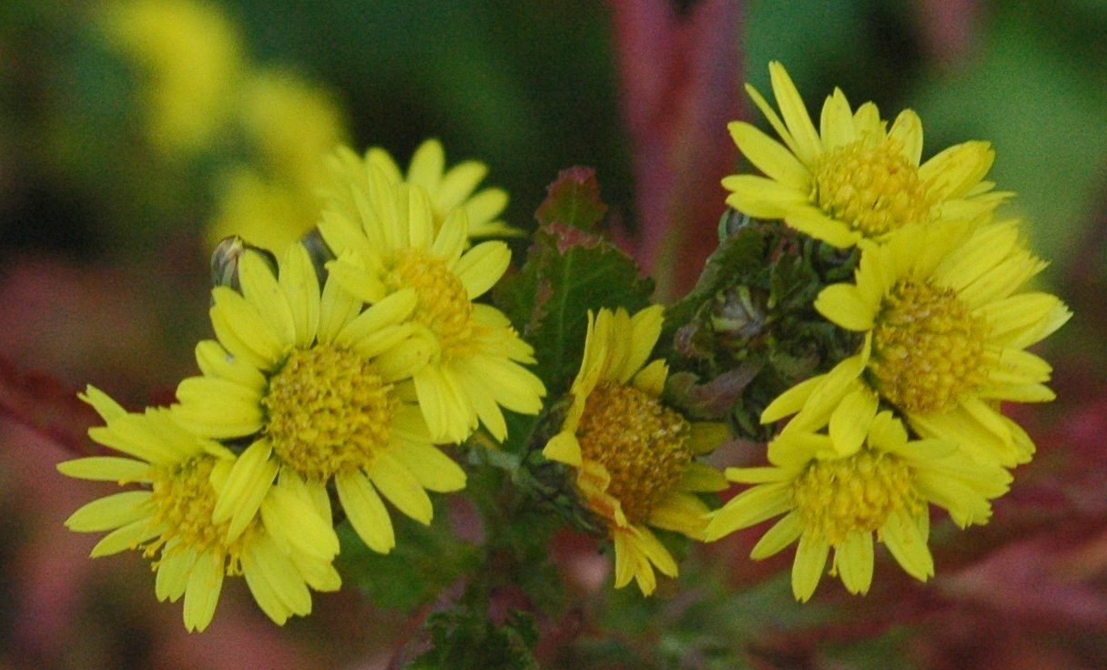
The work of scientific surveyors who have walked Changbai Mountain for four decades recording the distribution and condition of plants has been profiled. Noting collection point, season and growing conditions for every specimen becomes, over time, a record of ecological change.
The work of scientific surveyors who have spent nearly 40 years walking the Changbai Mountain area recording plant distribution and growth has been profiled. Local media likened the task to issuing an identity card for each specimen.
광고 문의 · 300×250Repeated observation is the basis of scientific survey work. Only by recording the same locations in the same way across many years can the direction of change be read.
Collected specimens are logged with coordinates and elevation, the season of collection, and surrounding vegetation and soil conditions. Without that information a specimen is merely a dried leaf.
Changbai Mountain has vegetation zones that divide sharply by elevation. Because coniferous forest and alpine meadow alternate within short distances, it is regarded as well suited to observing the effects of climate change.
Succession of personnel is decisive for long-term surveys. Recording methods and criteria for choosing sites must carry across generations for data to remain continuous.
Accumulated specimens and records serve as base material for species distribution maps and ecological restoration plans, and are also used to estimate the spread routes of pests and disease.
How slow work becomes data is a subject the press rarely covers. This paper presents the case with attention to the method of record-keeping rather than to announced results.