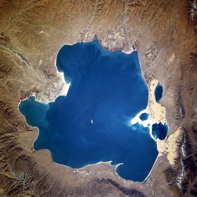
Over 200 lakes formed by melting glaciers have been identified across the Himalayas. Many are held back by unstable dams of ice and debris that, when they fail, send floods rushing downstream in minutes. This week's disaster on the China-Nepal border belongs to the same family of events.
Glacial lake outburst floods are known as GLOFs. As a glacier retreats, water pools in its place behind a natural dam of ice fragments and gravel. Such dams are not concrete; earthquakes, heavy rain or a collapsing ice mass above can breach them.
광고 문의 · 300×250More than 200 lakes across the Himalayas and Tibetan Plateau are classed as hazardous. Inventories and rankings are updated from satellite imagery and field surveys, with the rate of lake growth and the density of downstream population and infrastructure determining the ranking.
What happens when one goes
Once a breach begins, a mixture of water and debris races down the valley, rising sharply where the channel narrows. As seen this week in the border valley between China and Nepal, bridges and customs buildings can disappear in a short span.
Warning time is very short — tens of minutes to a few hours from source to downstream villages. Monitoring instruments, communications and evacuation drills must therefore exist as a set for evacuation to be possible at all.
What can be done
Three approaches run in parallel. One is engineering a channel to lower the lake artificially; several lakes in Nepal have been drawn down by a few meters this way. The second is continuous monitoring and early warning. The third is land-use control downstream, keeping buildings and housing out of the hazard corridor.
All three cost money and time. In mountain countries, simply building access roads consumes half the project. That is why financing and technical cooperation from international bodies and neighboring states come up repeatedly.
The open question
The pace of glacial retreat is tied directly to a warming climate, and the number of hazardous lakes is likely to grow. Sinophone Bridge Times treats this disaster not as an isolated accident but as a risk already marked on the map becoming real, and will keep following progress on monitoring and warning.